
25 inch to a mile second edition OS map goes online
14 February 2012
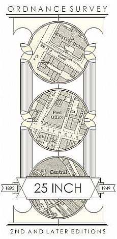 The National Library of Scotland has just launched their on-line version of the 25 inch to a mile second edition OS maps (1892-1949). This complements the previously released first edition at this scale, as well as the 6 inch 1st and 2nd edition maps.
If you haven't explored the growing collection of on-line maps on the National Library of
Scotland website, you should check them out at http://maps.nls.uk They include historic maps, including the Pont, Blaeu and Roy maps, a range of commercial maps and some estate maps (an ongoing project is focusing on the Sutherland estate maps).
An invaluable tool!
News Archive
- 10/06/2026 Wanted: project officer for ARCH Digitising Highland Maps and Plans project
- 27/01/2026 Highland Heritage Day 2026 - Booking form and timetable available
- 10/01/2026 New online Display: Norwegians in Edderton, Tain and Nigg areas in WWII
- 12/08/2025 ARCH August 2025 Newsletter now available
- 30/03/2025 Dingwall Station Online display
- 27/02/2025 ARCH February 2025 Newsletter now available
- 05/09/2024 Exploring Norwegians in the Contin area in WWII
- 18/04/2024 Community Engagement and Volunteering - tips for success
- 10/04/2024 Celebrating ARCH Day - 13th April in Strathpeffer
- 27/02/2024 Funding awarded from NHLF for The Golspie Fishertown Project