Pathways into the Past: Strathpeffer
The section of the routeway running from Brahan Woods to the Clyne Bridge was examinied by the community of Strathpeffer. We were looking for remains of the routeway or sites that might have been associated with the routeway through the periods of its use. From the research done so far it looks possible that the routeway may be medieval or earlier in origin but more work needs to take place before this can be confirmed.
Sites we looked at included:
Fodderty Double Embanked Feature remains visible as a zig-zag above Fodderty at Coille an Righe and at Ussie. the double embankment was surveyed as part of the course and was found to vary from 15-17m wide with embankments 1-2m high. (MHG55383) and (MHG55384)
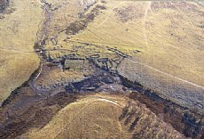
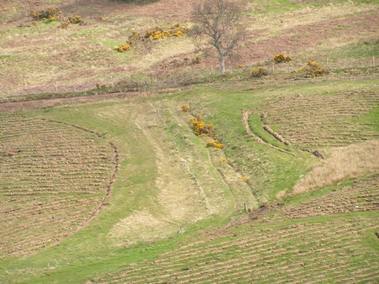 Double Embanked feature among fresh ploughing for trees.
Coffin Road: Above Fodderty the remains of a more recent route can also be seen which is known as the Fodderty corpse or coffin road. After the clearing of communities from Strathconan in the 1800’s to Mulbuie and Loch Ussie this road was used to bring the communities together for burial at Fodderty Cemetery. (MHG45128)
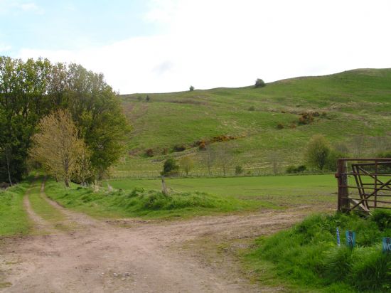 Zig Zag of coffin road above Fodderty.
John the Baptist Well: this well is still visible next to the track on the eastern flank of Knockfarrel. It is known as a place that people went to to taste the water and heal sickness. Although the name implies a religious connection there is no explicit link to religion that can be found. Interestingly there are two other wells by this name further north on the routeway. (MHG9030)
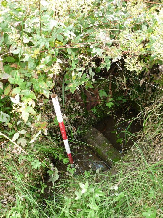 The well.
Fodderty and Inchrory: the remains of two early religious sites are known in this area. These churches or chapels sites are likely to have straddled a crossing point of the route over the River Peffery at a time when the surrounding terrain may have been waterlogged and near impassable. All that remains of the sites now is a cemetery at Fodderty. Nothing visible remains of Inchrory, although the name is linked to the famous St. Moluag who travelled to the area up the Great Glen from Lismore. (MHG16575) and (MHG7147)
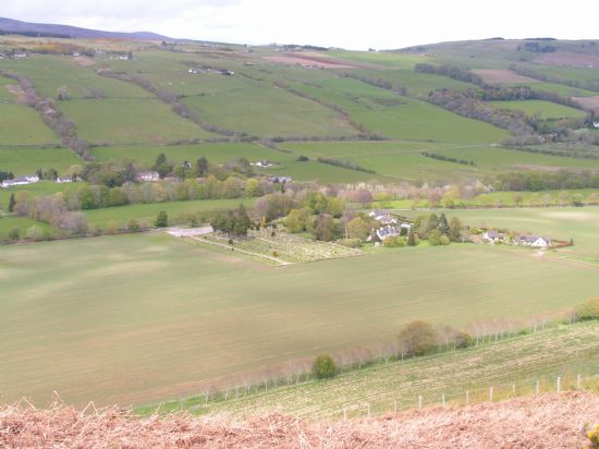 Fodderty Cemetery from Knockfarril
Sea level changes in the Peffery valley: According to Bain sea level change following the most recent ice age and a substantial mudslide in Norway is thought to have left the Strath waterlogged and perhaps even underwater as far as Fodderty. This would have made travel through the area difficult and perhaps accounts for the ‘deviation’ the route takes over the flank of Knockfarril and along the northern side of the Strath instead of a more direct route through Dingwall.
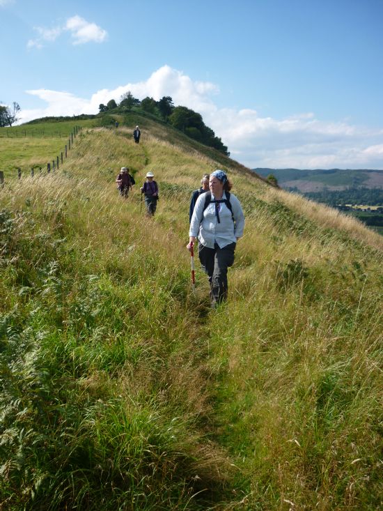 Group on walkover near Knockfarril
Dochmaluag Tower House: this site would have been the home of a powerful group in the area. The name of this site also implies that the davoch (medieval parcel of land) has been named after St Moluag, a missionary involved in bringing Christianity to the area and helping to found Rosemarkie Monastery. (MHG7146)
Tulloch Castle: Another site of power along the route. This site has a commanding view over Dingwall and surrounding area and would have been a significant site along the route. It s now used as a conference centre. (MHG8897)
Clyne Bridge: This bridge marks a strategic crossing point and junction where many routes join together.
The display was researched and prepared by Margaret Brown, Alasdair Cameron, Toni Clark, Caroline Fyfe, Christine and Ian Hammond, Karen and Duncan Kennedy, Linda Lamb, Pam and Graham Parkinson and John Ramsey.
Latest News...
15/07/2026 - ARCH Digitising Highland Maps and Plans project - volunteers wanted!
Welcome Claire Boardman, our newly appointed project officer for the Digitish Highland Map... More >>
10/06/2026 - Wanted: project officer for ARCH Digitising Highland Maps and Plans project
ARCH is looking to recruit a project officer for The Digitisng Highland Maps and Plans pro... More >>
27/01/2026 - Highland Heritage Day 2026 - Booking form and timetable available
This year's Highland Heritage Day will take place on Saturday 14th March at Dingwall A... More >>
Site of the Month
 10/04/2021 - Easter Raitts township
Easter Raitts township Photo: Highland HER Although the Highlands is dotted with de... More >>
Find of the Month
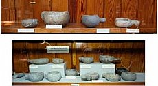 25/07/2022 - Steatite Vessels
These stone vessels, many with handles, were found at a variety of sites in Sutherland and... More >>